Geographical Details of Kodungallur Municipality
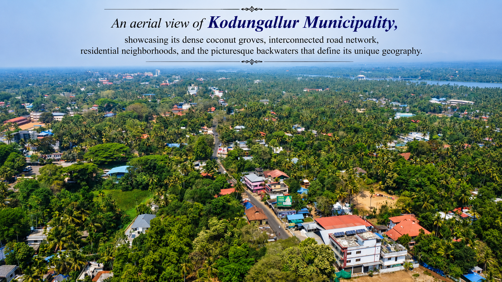
Kodungallur Municipality is located in the Thrissur district of Kerala, on the Malabar Coast, at the northern edge of the Kerala backwater system. It is one of Kerala's oldest urban settlements and occupies the historic site of the ancient port city of Muziris (Muchiri).
Location
- State: Kerala
- District: Thrissur
- Taluk: Kodungallur
- Latitude: Approximately 10.23° N
- Longitude: Approximately 76.20° E
- Elevation: About 9 m above mean sea level
- Distance from Thrissur: ~38 km southwest
- Distance from Kochi: ~36 km north via NH 66
Area
- Total municipal area: 29.24 km².
Boundaries
Kodungallur Municipality is bounded by:
- North: Mala Block area (Thrissur District)
- South: Ernakulam District across the Periyar river system
- East: Inland panchayat areas of Kodungallur Taluk
- West: Arabian Sea and coastal wetlands/backwaters. (delimitation.lsgkerala.gov.in)
Physiography
Kodungallur lies on a low-lying coastal plain formed by river and marine deposits. The landscape consists of:
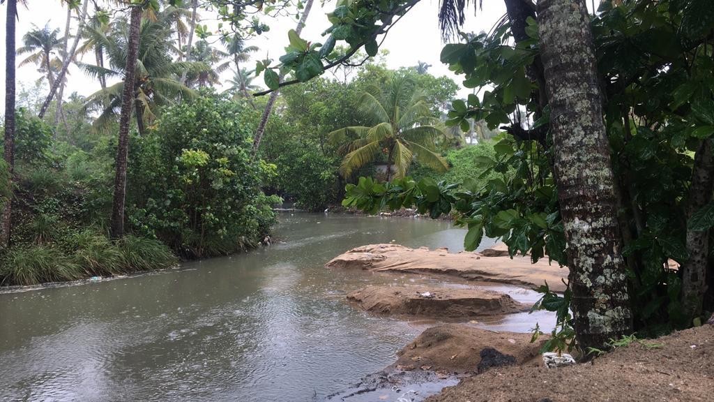
- River channels and distributaries
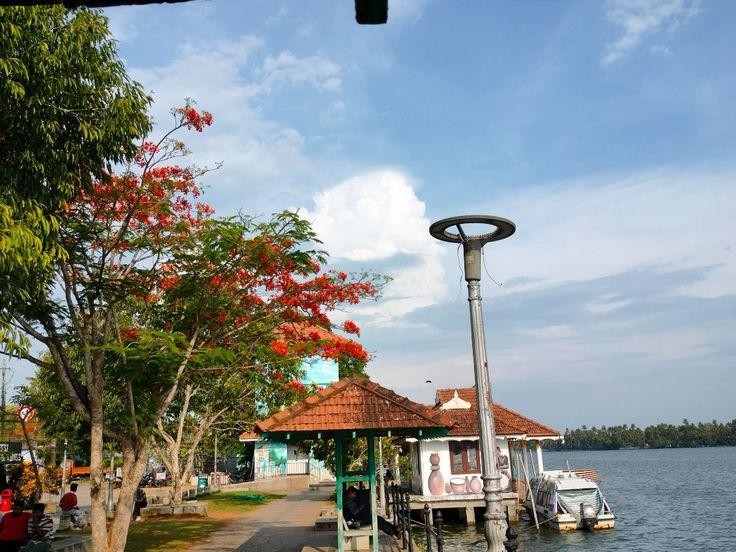
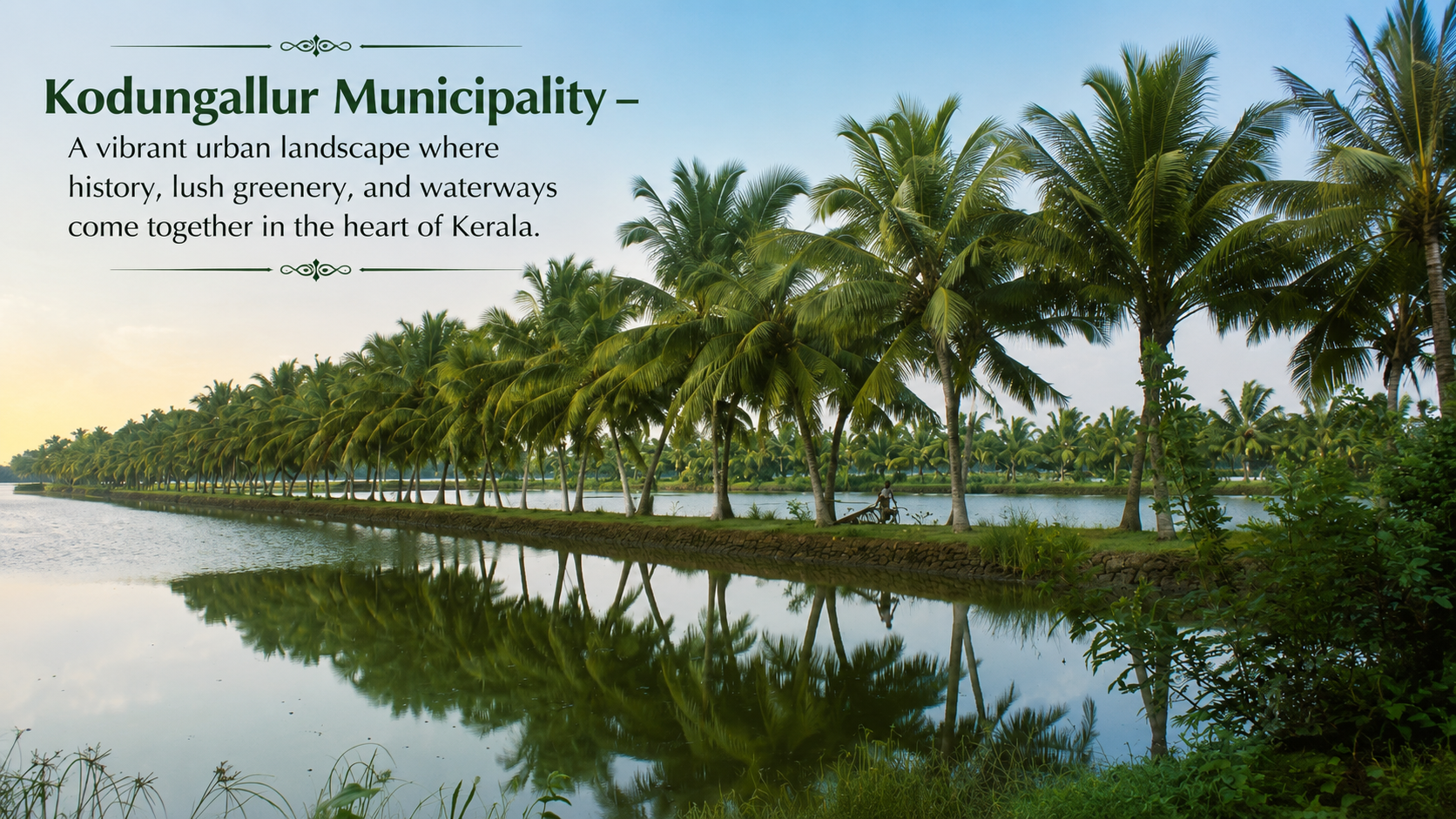
- Backwaters and canals
- Coastal wetlands and marshes
- Sandy coastal belts
- Alluvial plains suitable for agriculture. (kodungalloormunicipality.lsgkerala.gov.in)
Drainage
The municipality is closely associated with:
- Periyar River (near its western distributaries)
- Extensive backwater network
- Numerous canals and tidal creeks connecting to the Arabian Sea.
These waterways historically made Kodungallur an important maritime trading centre.
Climate
Kodungallur experiences a tropical monsoon climate:
- Summer: March–May (28–35°C)
- Southwest Monsoon: June–September
- Northeast Monsoon: October–November
- Winter: December–February (22–30°C)
- Average annual rainfall: Around 3,000 mm, typical of Kerala's central coastal region.
Soil
The dominant soil types include:
- Coastal alluvial soil
- Sandy loam near the coast
- Clayey alluvial deposits in low-lying areas
These soils support coconut, paddy, banana, and mixed horticulture.
Natural Vegetation
Common vegetation includes:
- Coconut groves
- Mangroves in estuarine areas
- Wetland grasses
- Riparian vegetation along rivers and canals
Significance
Kodungallur's geography has made it:
- A historic international port (ancient Muziris)
- A centre of inland water transport
- A coastal trading town
- A culturally significant settlement with Hindu, Christian, Muslim, and Jewish heritage.
Key Geographical Facts
| Feature | Details |
|---|---|
| District | Thrissur |
| Area | 29.24 km² |
| Elevation | ~9 m |
| Major River | Periyar |
| Water Bodies | Backwaters, canals, estuaries |
| Coastline | Arabian Sea |
| Climate | Tropical monsoon |
| Terrain | Low-lying coastal alluvial plain |
| Historic Importance | Ancient Port of Muziris |